


Opti-bike app for iPhone and iPad
Developer: Grad Subotica
First release : 13 May 2020
App size: 58.3 Mb
OPTI-BIKE GIS is a spatial information system serving as an efficient and comfortable tool for using bicycles in traffic.
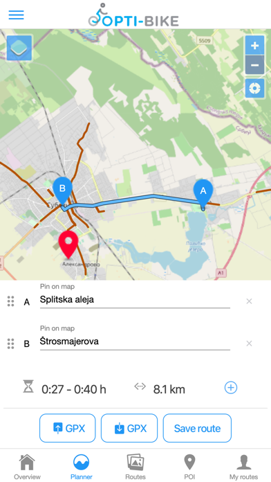
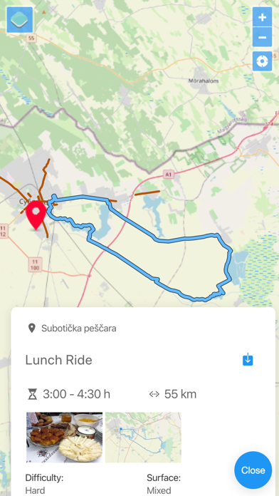
The app enables planning routes by various criteria, using the existing – created routes, various calculations of distance and estimation of time required for realization.
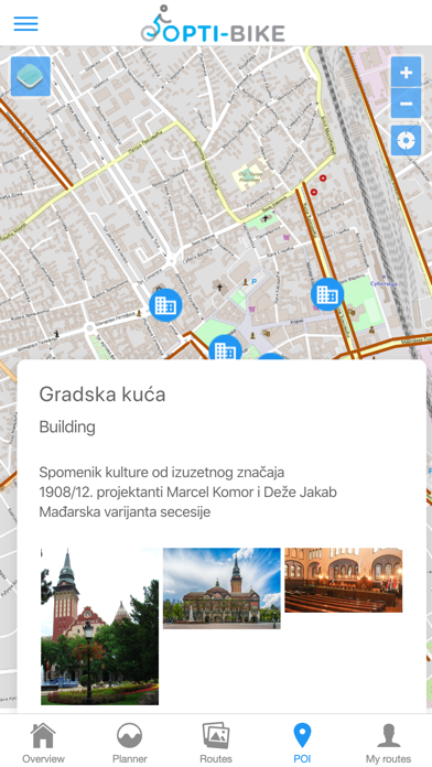
The app also contains a module for creating a base of sights for the areas of Subotica, Tompa and Ásotthalom (cultural monuments, protected natural assets – objects and landscapes, various events on defined venues, tourist destinations and various other offers that can be related to a specific place in space).
The users can also use their own routes, and fill the base of sites of interest.
The users can transfer the travelled route from their mobile devices into OPTI-BIKE GIS and thus define a new route as offer to other users.
Owners of contents interesting to cyclists and tourists can upload their offer on the site (free of charge), enriching the contents of the base of interesting locations or events on the cover area